Figure 5-1.--Portion of military map.
compass. Finally, we include instruction on ways to
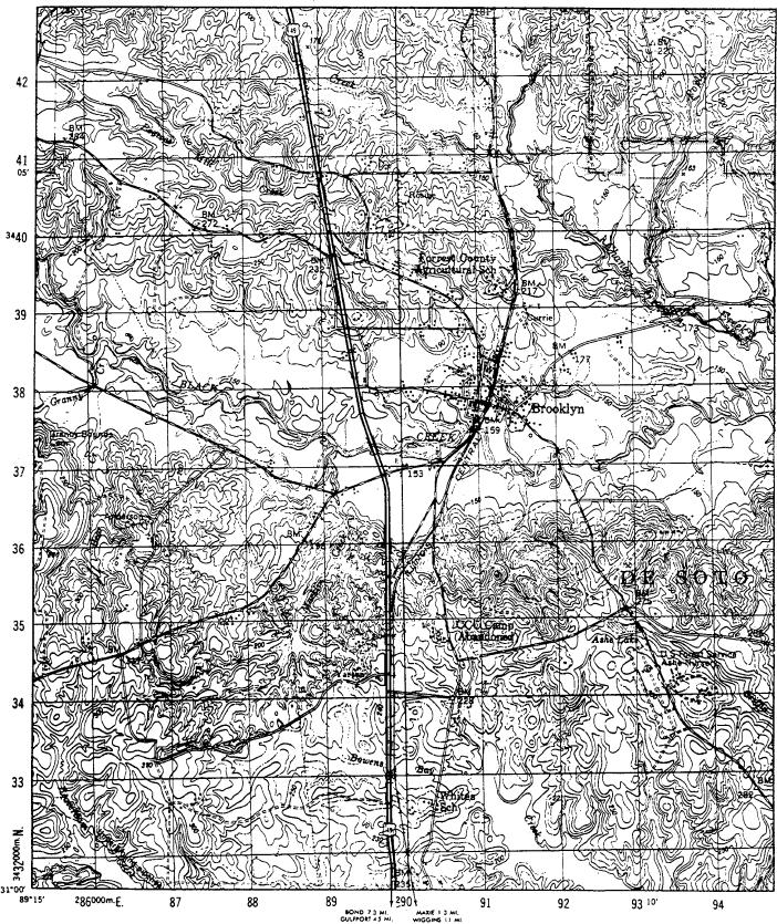
natural features are shown by the use of symbols, lines,
orient a map with a lensatic compass.
colors, and forms. (See fig. 5-1.) Maps show the
location and distances between ground features, such as
MAPS
towns, populated areas, roads, airfields, streams, and
other lines of communication. They also indicate
A map is a small-scale, flat-surfaced representation
variations in the landform and the height of natural
of a part of the surface of the earth. Man-made and
features.
5-5