set on high ground and are tied to the tide
station near the water surface.
Tide stations are classified as primary and
secondary. Primary stations require observations
for periods of 19 yr or more to derive basic tidal
data for a locality. Secondary stations are
operated over a limited period (usually less than
1 yr) and for a specific purpose, such as checking
elevations. The secondary station observations are
always compared to, and computed from, data
obtained by primary stations.
A tide station is set up, and observations are
made for a period that is determined by a desired
accuracy. These observations are compared with
a primary tide station in the area and, then, are
furnished with a mean value of sea level in the
area.
A closed loop of spirit levels is run from the
tide station over the tidal BMs and is tied back
to the tide station. The accuracy of this level line
must be the same as or higher than the accuracy
required for the BMs.
For permanency, tidal BMs usually are set in
sets of three and away from the shoreline where
natural activity or future construction probably
will not disturb or destroy them.
DATUM
Tidal datums are specific tide levels that are
used as surfaces of reference for depth
measurements in the sea and as a base for
determining elevations on land. In leveling
operations, the tidal datum most commonly
used is the MEAN SEA LEVEL. Other datums,
such as mean low water, mean lower low water,
mean high water, and mean higher high water,
are sometimes used, depending upon the purpose
of the survey. Still other datums have been used
in foreign countries. When conducting leveling
operations overseas, you should check into this
matter carefully to avoid mistakes.
Mean Sea Level
Mean sea level (MSL) is defined as the
average height of the sea for all stages of
the tide after long periods of observations.
It is obtained by averaging the hourly heights
as they are tabulated on a form similar to that
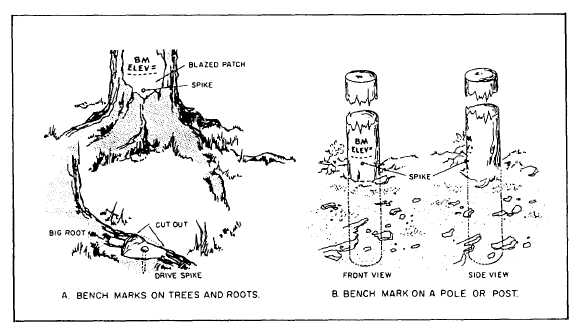
Figure 14-2.-Ways of using spikes as bench marks.
14-3