projection of the polar region is the fact that in the
conic projection, the cone is cut and flattened
out to form the map or chart, whereas the gnomonic
projection will appear as is. On the conic projection,
points lying close together on either side of the
meridian along which the cone is cut will be widely
separated on the map. The gnomonic projection, on
the other hand, will give a continuous and contiguous
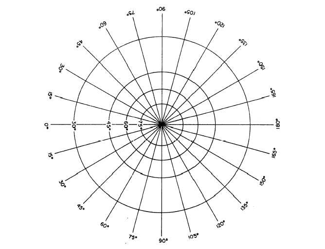
view of the areas. Figure 9-23 shows the appearance
of meridians and parallels on a polar gnomonic pro-
jection.
CONFORMALITY
According to some authorities, to be conformal,
a projection must possess both of the following
characteristics:
1. It must be a projection on which direction is the
same in all parts of the map. Obviously, for this
directional conformality, the meridians (which indicate
the direction of true north) must be parallel, and the
parallels (which indicate true east-west direction) must
be parallel to each other and perpendicular to the
meridians.
2. It must be a projection on which the distance
scale north and south is the same as the distance scale
east and west.
Obviously, none of the projections that we have
described have both of these characteristics. The only
one that has the first characteristic is the Mercator. On
this projection the meridians are parallel, and the
parallels are parallel to each other and perpendicular
to the meridians; therefore, the direction of north or
east is the same anywhere on the map. With regard to
the second characteristic, however, a distance of
15 degrees (for example) is longer in any part of the
map north-south than a distance of 15 degrees
east-west (even in the same part).
Figure 9-23.-Meridians and parallels on a polar gnomonic projection.
9-20


