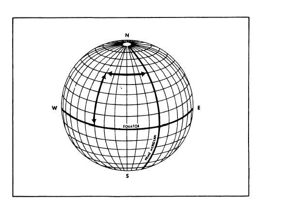
Figure 15-1.-Reference lines.
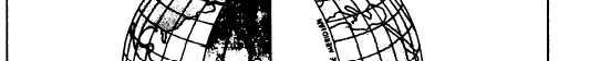
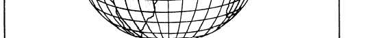
Figure 15-2.—Latitude, longitude, and reference lines.
A great circle passing through both poles is called a
equator is called a parallel of latitude. The numerical
meridian. The equator is a great circle about the earth
value of the parallels defines latitude and that of the
equidistant from the poles and perpendicular to the axis
meridians defines longitude.
of rotation. Through any point removed from the
As shown in figure 15-2, geographic latitude of a
equator, a circle whose plane is parallel to that of the
point may be defined as its angular distance above or
15-3