Depending on the size of the construction
project, the number of sheets in a set of civil
drawings may vary from a bare minimum to
several sheets of related drawings. Generally, on
an average-size project, the first sheet has a
location map, soil boring log, legends, and
sometimes site plans and small civil detail
drawings. (Soil boring tests are conducted to
determine the water table of the construction site
and classify the existing soil.) Civil drawings are
often identified with the designating letter C on
their title blocks.
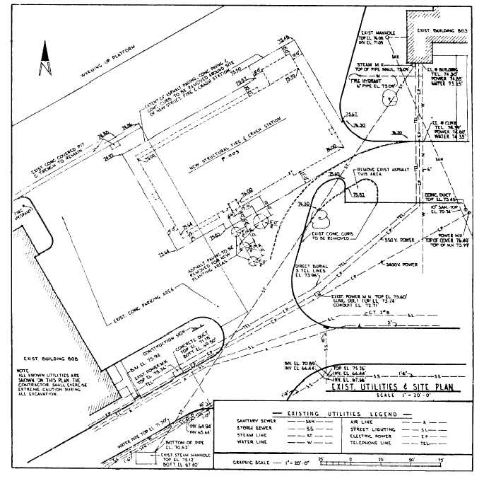
A SITE PLAN (fig. 10-11) furnishes the
essential data for laying out the proposed building
lines. It is drawn from notes and sketches based
upon a survey. It shows the contours, boundaries,
Figure 10-11.-Example of a site plan with existing utilities.
10-13

